El Salvador
Small and scenic — a quick Pacific coast run past surf breaks and the colonial villages of the Ruta de las Flores.
5 stops we’re not missing
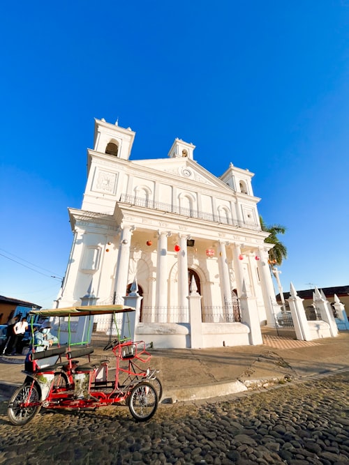 01
01Ruta de las Flores
A scenic mountain route linking coffee towns like Juayúa and Concepción de Ataco — murals, waterfalls, and weekend food fairs.
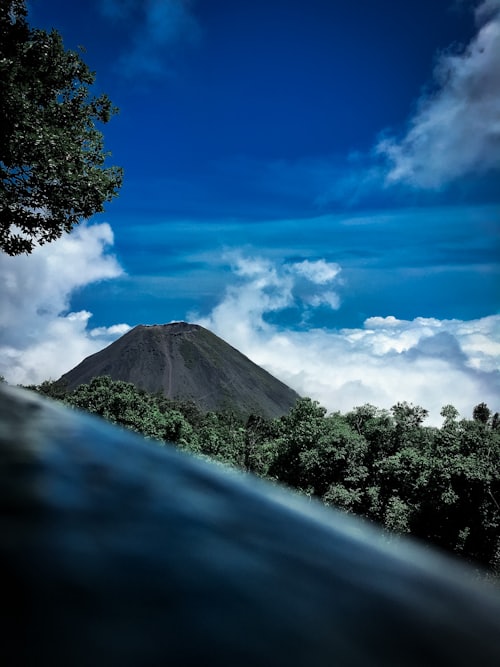 02
02Santa Ana Volcano (Ilamatepec)
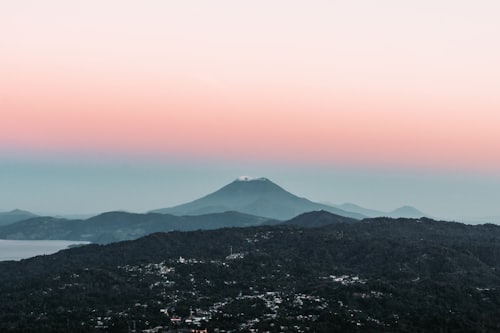
The country’s highest volcano (2,381 m), a ~1.5-hour hike to a vivid turquoise crater lake.
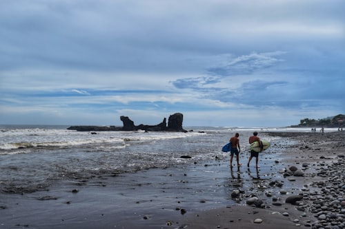 03
03El Tunco & the surf coast
Black-sand Pacific beaches and consistent point breaks — El Salvador’s laid-back surf capital.
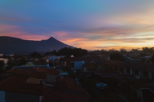 04
04Joya de Cerén
A Maya farming village buried by ash ~1,400 years ago and preserved intact — the "Pompeii of the Americas" (UNESCO).
 05
05Suchitoto
A cobblestoned colonial town above Lake Suchitlán, known for art and birdlife.
! What to watch for
- Crime has dropped dramatically in recent years, but stay current on advisories
- Winding mountain roads
⛽ Diesel & DEF
LSD is the norm; DEF availability is limited to larger towns.
🛂 Borders & permits
Part of the CA-4 zone, so movement is easy. Right-hand-drive vehicles need a special permit.
Sources & further reading
Safety notes link to the live official travel advisory — always check it before you go.
- U.S. State Dept. travel advisory (live)
- Country overview (Wikipedia)
- Joya de Cerén (Wikipedia)
- Modern diesels for overlanding: challenges & considerations (OVR Mag)
- AdBlue / DEF availability in Central & South America (Overlandsphere forum)
- Shipping a vehicle across the Darién Gap (Hayley & Jake)
- Vehicle shipping around the Darién Gap (Trans-Americas Journey)