Arctic Circle to the end of the world.
~30,000 miles down the longest road network on the planet — from 70°N to 55°S, across two continents and 15 countries, over about three years.
15 countries, two continents
Explore the route on the map, then open any country for its attractions, dangers, and what it takes to drive it.
An interactive map of the full Alaska-to-Patagonia route. The country-by-country breakdown is just below.
- 01
United States
Legs 1–2Pennsylvania → Prudhoe Bay, Alaska
The start line in PA, north to the Arctic Ocean at Prudhoe Bay, then back down the Pacific coast.
- 02
Canada
Leg 1The Yukon & the Alaska Highway
Endless boreal forest and the long climb up the Alaska Highway through the Yukon.
- 03
Mexico
Leg 2Baja California & the Sea of Cortez
Rugged desert meeting turquoise water down the Baja peninsula, then mainland Mexico.
- 04
Guatemala
Leg 3Lake Atitlán & the Maya highlands
Volcano-ringed Lake Atitlán and a dozen villages rich with living Maya culture.
- 05
El Salvador
Leg 3Pacific surf & the Ruta de las Flores
A short, scenic Pacific coast run past surf towns and the flower route’s colonial villages.
- 06
Honduras
Leg 3The Maya ruins of Copán
A detour to Copán — once a capital of the Maya world, with 2,000 years of carved history.
- 07
Nicaragua
Leg 3Volcanoes & colonial Granada
Active volcanoes, the colonial streets of Granada, and the twin-peaked island of Ometepe.
- 08
Costa Rica
Leg 3Cloud forest & two coastlines
Rainforest, cloud forest, and volcanoes between the Pacific and the Caribbean.
- 09
Panama
Leg 3The canal — then ship around the Darién
The Panama Canal and Panama City — then the van ships from the Caribbean coast to Colombia.
- 10
Colombia
Leg 4Cartagena landfall & Medellín
The van lands in Cartagena, then climbs into the Andes through Medellín and the coffee region.
- 11
Ecuador
Leg 4The Equator & Andean volcanoes
Cross the Equator at Quito, beneath the snow cones of Cotopaxi and the Avenue of Volcanoes.
- 12
Peru
Leg 4Cusco, the Sacred Valley & Machu Picchu
High Andes, the Sacred Valley, and the road within reach of Machu Picchu.
- 13
Bolivia
Leg 4Salar de Uyuni — the world’s largest salt flat
The altiplano and the blinding white infinity of the Uyuni salt flats at 3,650 m.
- 14
Chile
Leg 4The Atacama — driest desert on Earth
The lunar Atacama in the north, then far south to the wild Carretera Austral.
- 15
Argentina
Leg 4Patagonia → Ushuaia, the end of the road
Down the spine of Patagonia to Ushuaia in Tierra del Fuego — the southernmost city on the Pan-American road.
The four chapters of the road
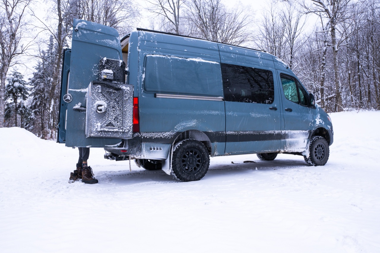 LEG 01 · Spring 2028
Pennsylvania → Alaska
North and west to the Arctic Ocean at Prudhoe Bay — the very top of the road.
Out of Pennsylvania, across the northern US and Canada, up the Alaska Highway through the Yukon, and onto the Dalton Highway to the Arctic Ocean. The northern terminus of the Pan-American journey.
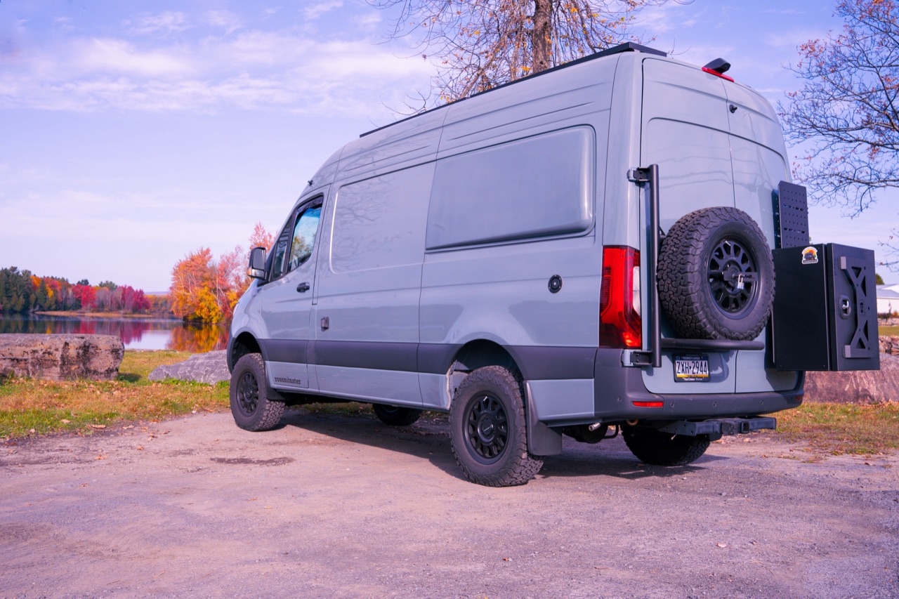 LEG 02 · 2028 – 2029
Alaska → Mexico
Down the Pacific and the desert Southwest, across the border into Baja.
Back down through British Columbia and the western US — coast, mountains, and desert — then across the border into Baja California and mainland Mexico.
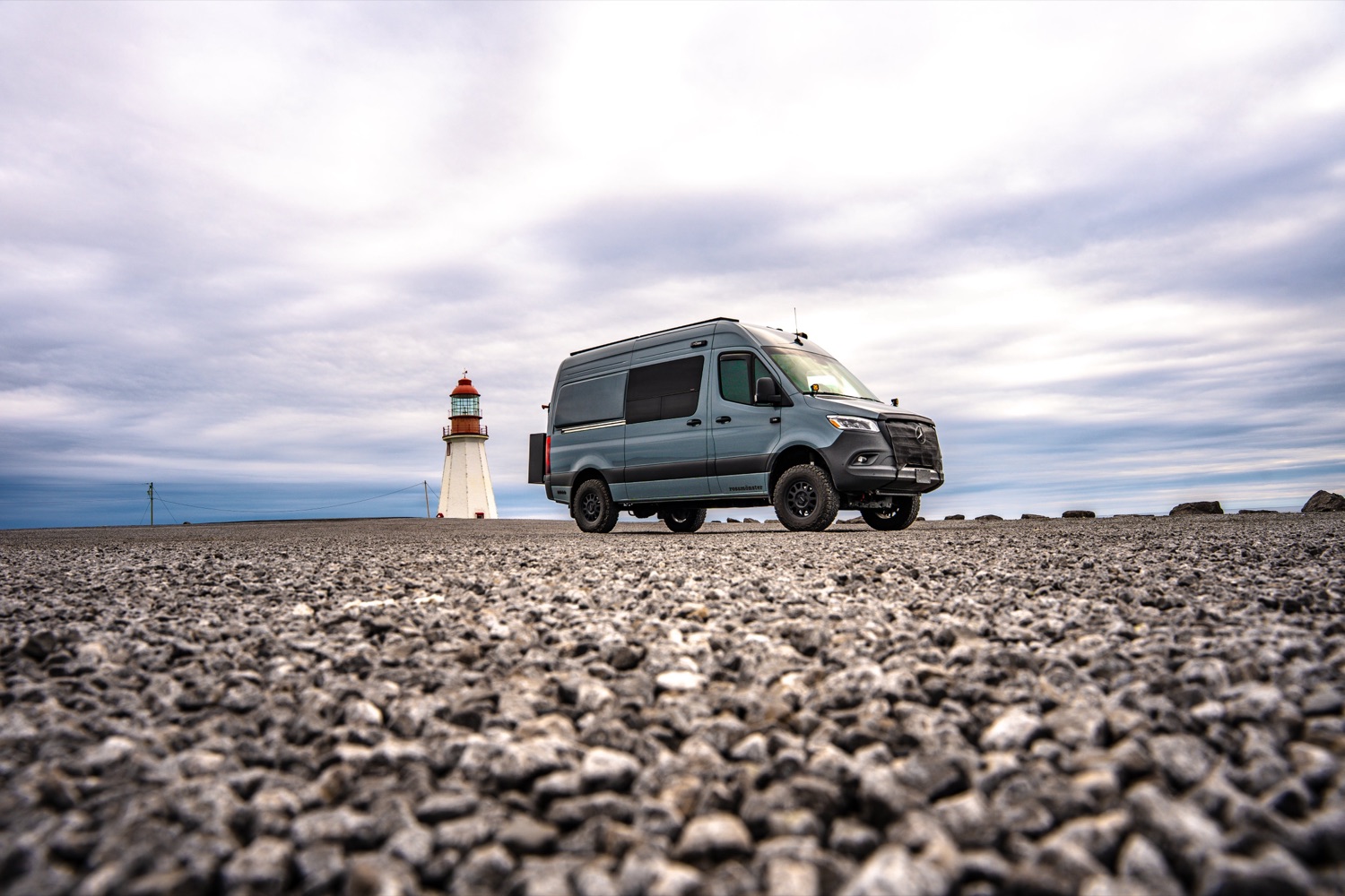 LEG 03 · 2029
Central America → the Darién Gap
Seven countries to Panama, then a boat around the roadless jungle to Colombia.
Guatemala, Honduras, Nicaragua, Costa Rica and on to Panama — then a sailboat or ferry around the impassable Darién Gap to land the van in Colombia.
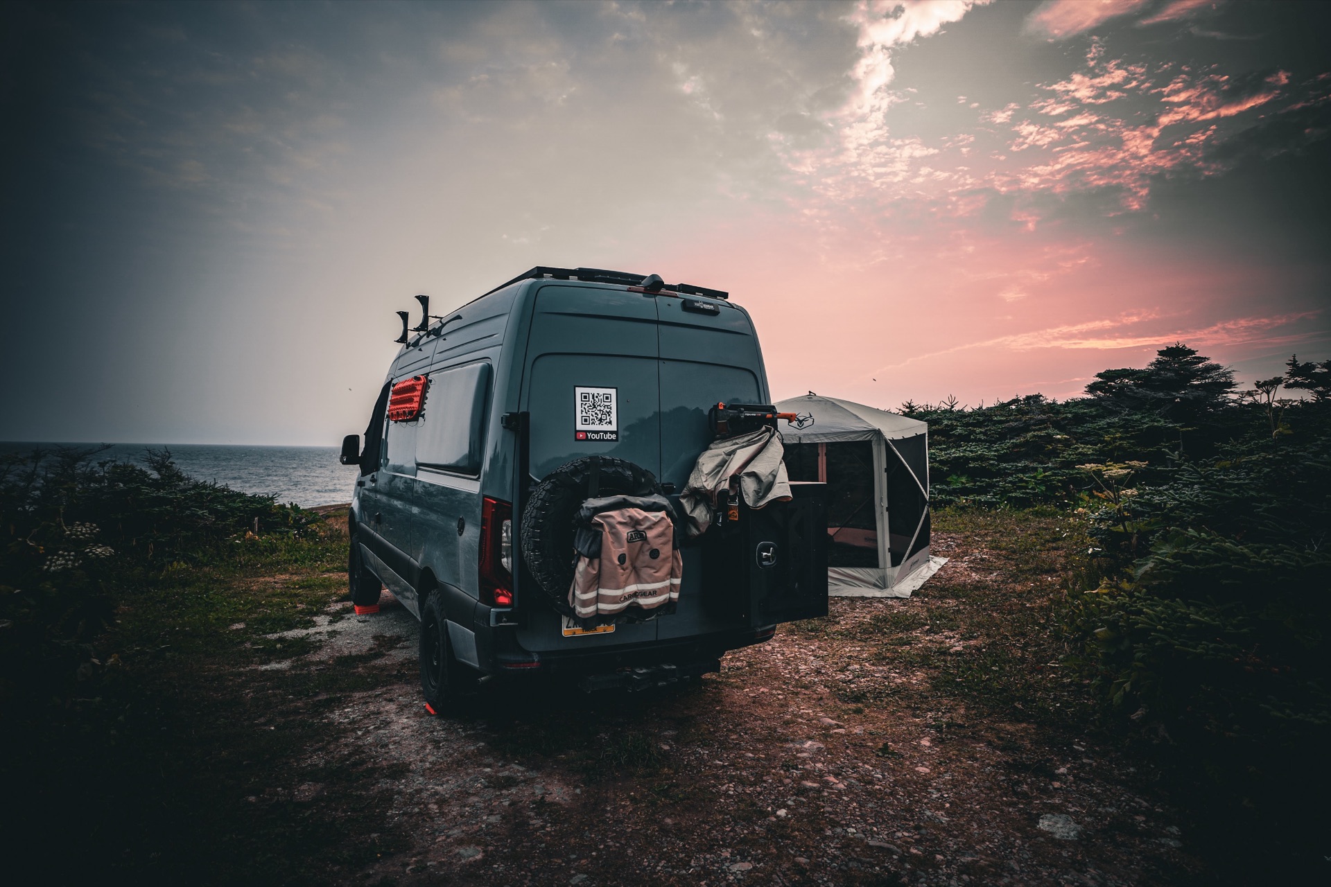 LEG 04 · 2030 – 2031
The Andes → Patagonia
The spine of South America to Ushuaia — the southernmost city on the Pan-American road.
Down the Andes through Ecuador, Peru, Bolivia, Chile and Argentina, all the way to Ushuaia in Tierra del Fuego — the end of the world, and the end of the road.
Crossing the Darién Gap
~60 miles of roadless rainforest break the highway between Panama and Colombia. No one drives it — here’s how the van (and we) get around it.
Shared container
The van rides inside a shared 40-ft high-cube container, Colón → Cartagena. Cheapest when split with a "container buddy" and the most secure — but it needs the most coordination, and a high-roof Sprinter likely won’t fit the ~2.59 m container height.
RORO (roll-on/roll-off)
The van is driven straight onto the ship. Simpler logistics and the realistic option for a high-roof rig; camper vans typically run $1,500–3,000 all-in. Nothing inside can be locked away.
Flat rack
The van is strapped to an open platform with no height limit. Least common and more to coordinate, but it fits rigs that won’t go in a container.
We fly or sail
People can’t ride with the van. We either fly Panama City → Cartagena (fast and cheap) or sail through the San Blas islands (4–5 scenic days, meals and bunk included) — and a sailboat can carry the lithium batteries with us.
There’s no road through the Darién — and no DIY shipping. You book through an agent (Overland Embassy in Panama; Ana Cortés Rodríguez is the go-to on the Colombia side), confirm dates 2–3 days out, run a near-empty fuel tank with propane disconnected, and plan on a multi-week process.
The diesel & driving realities
A modern 4×4 diesel is brilliant for this trip — until the fuel, the urea, or the altitude says otherwise. The challenges that follow us through every country:
DEF / AdBlue gets scarce
South of the U.S., AdBlue (Arla 32 / Urea 32) thins out fast. A modern diesel won’t run without it — we carry a reserve and refill in cities and truck stops.
ULSD isn’t a given
The U.S., Canada, Chile, and big cities have clean ultra-low-sulfur diesel. Much of Central America and the Andes sells higher-sulfur LSD, which clogs the DPF faster — so we plan regens and carry filters.
Clean fuel, or else
High-pressure injection runs at extreme tolerances; dirty or watery fuel can wreck it. Extra filtration and water separation are non-negotiable on this route.
Thin air in the Andes
Passes over 4,000 m sap turbo-diesel power and stress the emissions system — and Bolivia’s thick, low-grade diesel makes it worse. We carry reserve fuel for the remote high stretches.
A new permit at every border
Each country means a temporary import permit and local insurance (often SOAT). Keep every cancellation receipt, and make sure the driver is named on the paperwork — or risk losing the van on exit.
Sources & further reading
- Modern diesels for overlanding: challenges & considerations (OVR Mag)
- AdBlue / DEF availability in Central & South America (Overlandsphere forum)
- Shipping a vehicle across the Darién Gap (Hayley & Jake)
- Vehicle shipping around the Darién Gap (Trans-Americas Journey)
- Temporary Import Permit (TIP) for vehicles in Mexico (Mexperience)
- The Pan-American Highway (Wikipedia)
- The Darién Gap (Wikipedia)
Catch us somewhere on it.
Get on the dispatch list and we’ll share waypoints and timing as each leg approaches.
Join the convoy →